Achieve GNSS CM-level high-accuracy positioning! How powerful is the application of Emdoor Information's RTK rugged tablet PC?
At present, we are in the critical moment of the new era of industry. With the digital transformation of various industries and the integration and subversion of the Internet of Things applications, application scenarios in various industries such as engineering surveying, smart cities, and intelligent transportation increasingly put forward higher precision requirements for outdoor positioning. In this situation, and satellite positioning with high-precision optimization will promote society to enter the era of "intelligent interconnection of all things" faster.

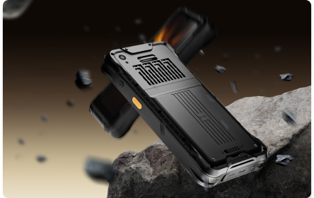
The new EM-T17X (RTK), a high-accuracy positioning rugged tablet PC from Emdoor Information, was born out of necessity. Compared with the traditional GPS positioning technology, EM-T17X (RTK) truly realizes centimeter-level positioning accuracy, which can be applied to industries that require high-precision positioning information, such as land area surveying, engineering and construction measurement, intelligent agriculture, power inspection, and airport ramp management, and more!
Power inspection
With the increase of the area and length covered by transmission lines, refined inspection operations require higher precision positioning information, and traditional GNSS positioning will produce positioning errors for various reasons, resulting in positioning errors up to 2-10 meters, or even greater, which inevitably fails to meet the inspection requirements. By introducing the Rugged Tablet PC EM-T17X (RTK) with a high-accuracy positioning module, power inspections can achieve higher work efficiency, and more accurate location information, and improve the quality and safety of tasks.
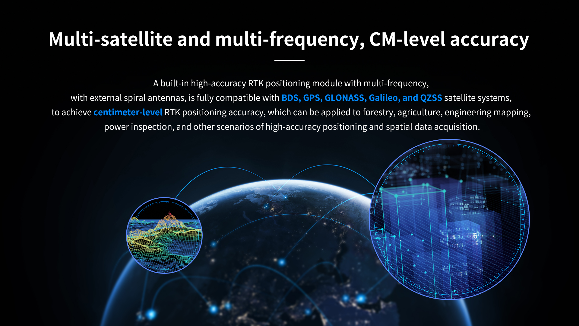
The EM-T17X (RTK) utilizes its own low-power GNSS full-system multi-frequency chip and full-sky RTK technology to simultaneously receive BeiDou, GPS, GLONASS, Galileo, and GZSS signals, which can achieve centimeter-level positioning on a long baseline, making RTK positioning initialization time faster, more accurate and more reliable.
Before the inspection mission begins, the power inspection team uses the EM-T17X (RTK) Rugged Tablet PC to plan the inspection route, which allows them to specify key checkpoints or target locations on a map. While performing a mission, the EM-T17X (RTK) provides maps and real-time navigation guidance, displays the current location and target location, and provides the best route based on the navigation algorithm to help inspectors get to their destination most efficiently. In addition, it supports a variety of card reading protocols under ISO/IEC, which can recognize and interact with specific types of NFC cards, and inspectors can punch cards at inspection points, making it easy to obtain accurate personnel location information and real-time scheduling. EM-T17X (RTK) can record the location trajectory during the mission, including timestamps and coordinate information, together with the built-in 5MP+13MP HD front and rear dual cameras, inspectors can take inspection photos, record videos, or add annotations to support mission recording and reporting.

Forestry planning
The introduction of EM-T17X (RTK) Rugged Tablet PC can assist in fine planning and management of forestry and forest land surveys. By simultaneously tracking the multi-signal frequency points of BDS B1I/B2I/B3I, GPS L1/L2/L5, GLONASSL1/L2, GalileoE1/E5b/E5a, QZSS L1/L2/L5, EM-T17X (RTK) greatly improves the accuracy of the forest land survey, makes the planning standardized and refined, and avoids negligence and omissions in the process, the data is real and reliable, which can achieve the effective utilization of forest resources and improve the potential productivity of forests.
As forest surveys are often conducted outdoors, temperature, road conditions, and emergencies are extremely demanding on the robustness and environmental adaptability of equipment, the EM-T17X (RTK) passed the IP65 and U.S. military MIL-STD-810H standards, 1.22m anti-fall, can cope with high and low temperature and accidental bumps and falls during the mission without interrupting the operation, ensuring the normal progress of the mission. Its 10.1-inch, 700nits high-definition high-definition highlight screen allows inspectors to clearly and directly see the information and data on the screen even in strong outdoor sunlight, supporting intuitive recording of the whole process of the mission. It is also equipped with a removable battery for long-lasting battery life even when charging is inconvenient during the mission.
Airdrome management
The airdrome is a very busy and complex environment that requires precise monitoring and management of the location of ground-handling vehicles to ensure safe and efficient ground-handling operations. The EM-T17X (RTK) can be used to provide real-time and highly accurate information on the location of ground handling vehicles, which can help airport managers better coordinate and optimize ground handling operations, reduce the rate of dispatch accidents, and ensure ground handling safety.
Airdromes are often environments with a high risk of electrostatic discharge, such as dry climates, wind, aircraft grounding, etc. In addition, airport ground handling vehicles are usually equipped with various electronic equipment, including navigation systems, communication equipment, safety monitoring equipment, etc. These equipment are very sensitive to ESD and easily lead to equipment damage, failure, or data loss, thereby affecting the efficiency and safety of ramp management, so airport apron management has high requirements for electrostatic discharge of tablet equipment. The EM-T17X (RTK) supports ±8kV contact discharge and ±15kV air discharge, which is a better ESD performance compared with consumer flat panel devices, and can meet the requirements of the airdrome.
The EM-T17X (RTK) Rugged Tablet PC can be firmly installed on ground handling vehicles via a vehicle mount, integrating a unified detection management solution with the vehicle power supply and communication system, and transmitting real-time position data to the airport ground handling management center or related applications via 2.4G+5.8G dual-band WIFI or 4G wireless network. In addition, the EM-T17X (RTK) has a cold start time of 30s and a data update frequency of 20Hz, which means it can update ground vehicle positioning in real-time with a second-level positioning speed.
On the operation side, airdrome personnel can track the location of ground handling vehicles in real-time through the monitoring application to ensure safe operation and coordination of tasks; on the management side, the ground handling management center can view real-time vehicle locations, ramp maps and mark important areas to optimize the ground handling process.

Engineering Surveying
Engineering surveying is a field that requires high-precision geospatial data to cover a variety of applications such as land surveying and mapping, building mapping, road design, mineral exploration, and more. The EM-T17X (RTK) Rugged Tablet PC plays an important role in engineering surveying, not only improving the accuracy and efficiency of data collection, but also meeting the demand for high-precision location information, which provides reliable data support for the planning, design, and execution of engineering projects.
For building mapping, it is critical to accurately measure the height of buildings, such as uneven roads and unstable buildings, RTK provides elevation data that can be used to create digital terrain models or digital elevation models to support GIS analysis and geographic planning. The EM-T17X (RTK) meets the demand for elevation accuracy in mapping scenarios-1.5 cm + 1 ppm. It integrates with mapping applications and displays data in a multi-layered manner, including satellite imagery, terrain models, and known geographic features, enabling mappers to view real-time locations, mark survey points, and plan survey tasks on the map.
Engineering surveyors can also use EM-T17X (RTK) to collect geospatial data, including coordinates, elevation, topography, and other information, and then upload them to the cloud in real-time via wireless network after collection, and use data processing and analysis tools to process and calculate geographic information in real-time to generate surveying and mapping reports or maps.
In summary, the EM-T17X (RTK) high-accuracy positioning rugged tablet PC has a wide range of application scenarios, with higher positioning accuracy and faster response speed, which can greatly improve operation accuracy and efficiency, and contribute to the prosperity of the refined application in different fields and the construction of smart cities.


