



Outdoor positioning
Define the exact task and user role before selecting the device family.
Challenge 01

 16/17F, Emdoor Building, No.8 Guangke 1st Road, Pingshan District, Shenzhen



Accurate positioning and fast data access are very important for outdoor surveying and mapping work. Emdoor's rugged cpmputers can perfectly solve this problem.
Rugged mobile devices support outdoor survey teams with positioning records, field notes, photo capture, wireless sync, and readable operation in changing environments.
Define the exact task and user role before selecting the device family.
Challenge 01Match capture method, screen, wireless, and accessories to the work point.
Challenge 02Keep the captured record connected to the business system that needs it.
Challenge 03Plan charging, mounting, packaging, rollout, and support so the workflow can repeat.
Challenge 04Connect survey capture, positioning, map records, outdoor communication, and device protection before selecting the terminal.
Work conditions guide the shortlist before model selection.
Hardware, software behavior, and accessories should be reviewed together.
The approved configuration should be repeatable after sample validation.
Use measurable conditions to explain why the recommended product direction fits the application.

Use rugged devices to capture real rugged pc in surveying & mapping industry work at the point where the task happens.
Move status, scan, inspection, or location data into the business system without waiting for paper records.
Make damage, mismatch, route change, missed scan, or abnormal work visible early enough for review.
Keep device choice, accessories, software image, packaging, and support repeatable after approval.
GNSS positioning, map data, field forms, photos, and outdoor reporting should be reviewed as one operating system before quotation.
Review screen, protection, input method, operating system, carry, or mounting direction.
Terminal layerMatch barcode, camera, NFC, RFID, GNSS, or sensor requirements to the task.
Input layerPlan Wi-Fi, LTE, Bluetooth, GNSS, docks, interfaces, and offline behavior.
System layerConfirm accessories, software image, packaging, documentation, support, and repeat delivery.
Lifecycle layerExplain the operational value that the solution creates for field teams, managers, and deployment owners.
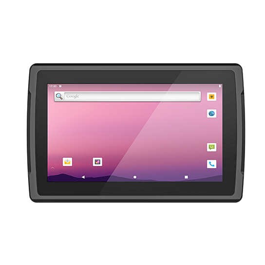
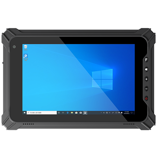
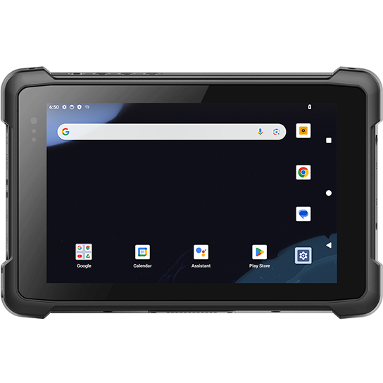
Review product directions that support Rugged PC in Surveying & Mapping Industry: model family, OS, capture method, mounting, accessories, and configuration scope.
Read planning articles that help evaluate Surveying and Mapping Industry device selection, software behavior, accessories, and validation requirements.
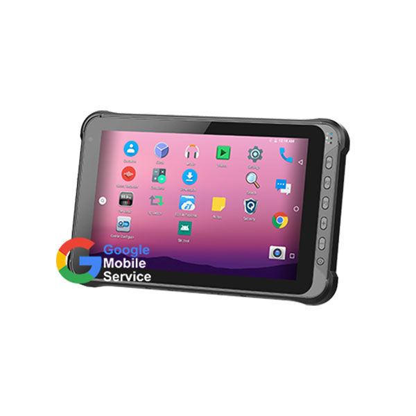
Unlike commercial tablets, rugged tablets pay more attention to the tolerance of the external environment and more efficient and reliable computing performance. Although it is difficult for us to trul...
Read more ↗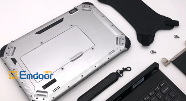
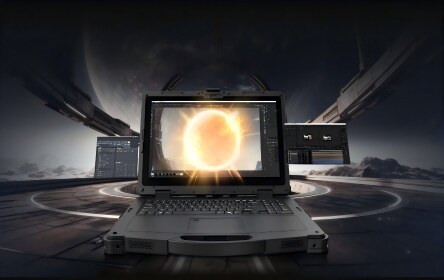
A rugged notebook is a notebook with high performance. Although it appears a good anti-fall performance, can it meet my daily needs and can I play it every d...
Read more ↗The same industry scenario can require different device modules, software policies, accessories, packaging, documentation, and validation steps. Customization keeps those decisions connected before quotation.
Emdoor can review the work environment, user role, operating system, data capture method, connectivity, mounting or carry method, accessories, quantity, delivery market, and timeline to define a practical device direction.
Get a solution recommendationThese answers help define the operating scene, device direction, and project scope for Rugged PC in Surveying & Mapping Industry.
Share the exact workflow and system environment before model selection.
Hardware, software, and accessories should be reviewed as one working system.
Configured projects should be reviewed before quotation or sample approval.
Related products are a starting point, not the final project configuration.